GeoPandas Intro: Working with Washington DC Data 🗺️
Learn to use GeoPandas with Washington DC's open data, combining neighborhood polygons and more in this beginner-friendly guide.

Geospatial Programming
23.4K views • Jan 2, 2022
About this video
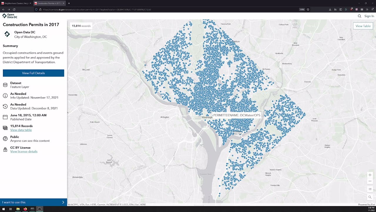
This is an introductory video to working with GeoPandas, using data pulled from Washing DC's Open Data page. We'll combine neighborhood polygons with construction permit point data to get permits per neighborhood per year, and create plots and maps with our results.
Notebook in Github:
https://github.com/GeospatialProgramming/Geopandas/blob/main/Intro%20to%20Geopandas/DC%20Construction.ipynb
Links about projections:
http://web.pdx.edu/~bjpd/courses/g424/projections/Schaefer-Projections.pdf
https://www.youtube.com/watch?v=jVn1uCuhO_4
DC's Open Data:
https://opendata.dc.gov/
Automate the Boring Stuff:
https://automatetheboringstuff.com/
Tags and Topics
Browse our collection to discover more content in these categories.
Video Information
Views
23.4K
Likes
561
Duration
21:01
Published
Jan 2, 2022
User Reviews
4.6
(4) Related Trending Topics
LIVE TRENDSRelated trending topics. Click any trend to explore more videos.
No specific trending topics match this video yet.
Explore All Trends