GeoPandas Tutorial: Merge & Visualize GIS Data 📊
Learn to merge shapefiles and visualize GIS data with Python & GeoPandas in this tutorial. Perfect for data analytics and education.

datapartnership
131 views • Mar 1, 2025
About this video
Learn how to merge shapefile features and visualize them using Python & GeoPandas!
In this second video of the series, you'll explore:
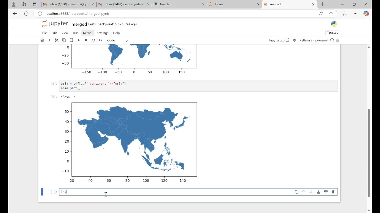
✅ Merging spatial features using GeoPandas (dissolve, merge)
✅ Handling attribute data while merging shapefiles
✅ Plotting merged spatial data with Matplotlib
✅ Real-world applications in GIS & geospatial analysis
📌 Who should watch?
GIS professionals, data scientists, and Python enthusiasts working with spatial data.
🔔 Subscribe for more Python GIS tutorials!
In this second video of the series, you'll explore:
✅ Merging spatial features using GeoPandas (dissolve, merge)
✅ Handling attribute data while merging shapefiles
✅ Plotting merged spatial data with Matplotlib
✅ Real-world applications in GIS & geospatial analysis
📌 Who should watch?
GIS professionals, data scientists, and Python enthusiasts working with spatial data.
🔔 Subscribe for more Python GIS tutorials!
Video Information
Views
131
Likes
3
Duration
16:54
Published
Mar 1, 2025
Related Trending Topics
LIVE TRENDSRelated trending topics. Click any trend to explore more videos.
No specific trending topics match this video yet.
Explore All Trends