Beginner's Guide to GeoPandas in Python 🌍
Learn how to use GeoPandas for geospatial data analysis in Python with this beginner-friendly tutorial. Perfect for newcomers!
Johan Godinho
2.5K views • Nov 23, 2024
About this video
Welcome to the first video in our GeoPandas for Beginners series! In this tutorial, we’ll dive into GeoPandas, a powerful Python library for geospatial data analysis. Whether you’re new to geospatial analysis or looking to expand your Python skills, this video is perfect for you!
Here’s what we’ll cover in this tutorial:
1. Introduction to GeoPandas: Learn what GeoPandas is and why it’s essential for geospatial data analysis.
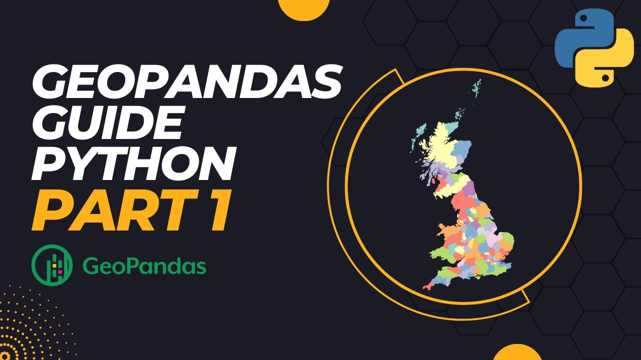
2. Plotting UK Shapefiles: See how to load and visualise shapefiles to create a complete map of the UK.
3. Filtering Geometries: Discover how to filter shapefiles to plot specific areas of the UK.
4. Coloring Maps with CMAP: Use the plot() function, colormaps (cmap), and numeric data columns to color-code maps for deeper insights.
🎯 By the end of this tutorial, you’ll have a solid foundation in GeoPandas and be able to create customised maps with Python.
🔜 Coming Next: In the next video, we’ll take things a step further and show you how to plot real-life data on your maps!
Follow me on instagram:
https://www.instagram.com/johangodinho14
Link to Pandas Tutorials:
https://youtu.be/QgfkY_M6IEQ
https://youtu.be/jSeqH5WCBb4
https://youtu.be/RocRV1AUGus
Link to code:
https://link-center.net/696409/python-geopandas-1
🔔 Please Subscribe to help me reach 100,000 subs :)
#GeoPandas #PythonTutorial #GeospatialAnalysis #DataScience #PythonForBeginners #MapsInPython #UKMaps #DataVisualization
Here’s what we’ll cover in this tutorial:
1. Introduction to GeoPandas: Learn what GeoPandas is and why it’s essential for geospatial data analysis.
2. Plotting UK Shapefiles: See how to load and visualise shapefiles to create a complete map of the UK.
3. Filtering Geometries: Discover how to filter shapefiles to plot specific areas of the UK.
4. Coloring Maps with CMAP: Use the plot() function, colormaps (cmap), and numeric data columns to color-code maps for deeper insights.
🎯 By the end of this tutorial, you’ll have a solid foundation in GeoPandas and be able to create customised maps with Python.
🔜 Coming Next: In the next video, we’ll take things a step further and show you how to plot real-life data on your maps!
Follow me on instagram:
https://www.instagram.com/johangodinho14
Link to Pandas Tutorials:
https://youtu.be/QgfkY_M6IEQ
https://youtu.be/jSeqH5WCBb4
https://youtu.be/RocRV1AUGus
Link to code:
https://link-center.net/696409/python-geopandas-1
🔔 Please Subscribe to help me reach 100,000 subs :)
#GeoPandas #PythonTutorial #GeospatialAnalysis #DataScience #PythonForBeginners #MapsInPython #UKMaps #DataVisualization
Tags and Topics
Browse our collection to discover more content in these categories.
Video Information
Views
2.5K
Likes
48
Duration
9:55
Published
Nov 23, 2024
User Reviews
4.5
(2) Related Trending Topics
LIVE TRENDSRelated trending topics. Click any trend to explore more videos.
No specific trending topics match this video yet.
Explore All Trends