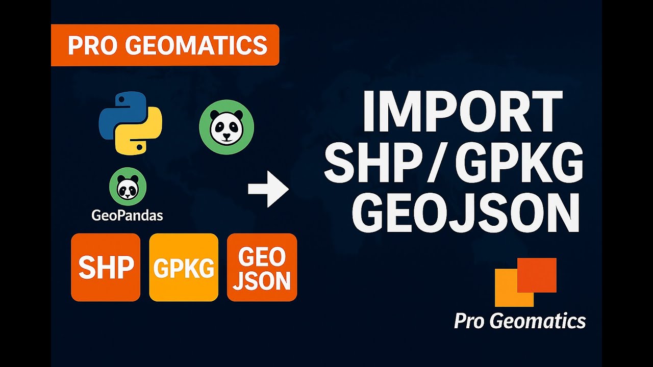
Import Shapefiles, GeoJSON & GeoPackage with GeoPandas 📁
Learn how to import Shapefiles, GeoJSON, and GeoPackage files in Python using GeoPandas in just 9 minutes.
Pro Geomatics
258 views • Nov 21, 2025
About this video
In this 9-minute GeoPandas tutorial, you’ll learn how to import Shapefiles, GeoJSON, and GeoPackage files in Python using GeoPandas.
What you’ll learn:
• How to read Shapefiles with gpd.read_file
• How to load GeoJSON
• How to work with GeoPackage (GPKG) and select layers
• How to check CRS
• How to preview your data
This video is perfect for GIS beginners, remote sensing learners, and anyone switching from QGIS/ArcGIS to Python.
Code used in the video:
import geopandas as gpd
shp = gpd.read_file('roads.shp')
gjson = gpd.read_file('boundary.geojson')
gpk = gpd.read_file('data.gpkg', layer='districts')
print(shp.head())
print(shp.crs)
shp.plot()
#geopandas #python #gis #geospatial #geopackage #shapefile #geojson #mappingpython #geospatialanalysis #mappingtutorial
Tags and Topics
Browse our collection to discover more content in these categories.
Video Information
Views
258
Likes
5
Duration
9:26
Published
Nov 21, 2025
Related Trending Topics
LIVE TRENDSRelated trending topics. Click any trend to explore more videos.
No specific trending topics match this video yet.
Explore All Trends