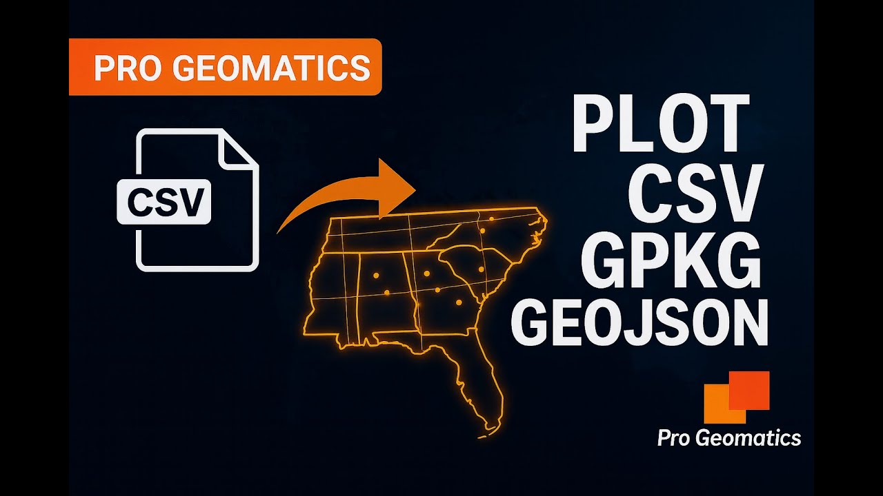
Import CSV with Coordinates into GeoPandas & Plot 📍
Learn how to import CSV data with lat/lon into GeoPandas and visualize it easily. A beginner-friendly guide to mapping coordinates.

Pro Geomatics
200 views • Nov 23, 2025
About this video
Let me save you from the most common GeoPandas headache. You have a CSV file with latitude and longitude but nothing shows up when you try to map it. In this tutorial, I show you the easiest way to read CSV coordinates into GeoPandas and convert them into real points on a map.
What you will learn:
• Read CSV with pandas
• Convert lat and lon to geometry
• Create a GeoDataFrame
• Set the correct CRS (EPSG 4326)
• Plot your points
This works for any Python GIS workflow.
Code used in this tutorial:
import pandas as pd
import geopandas as gpd
from shapely.geometry import Point
df = pd.read_csv('data.csv')
geometry = [Point(xy) for xy in zip(df.longitude, df.latitude)]
gdf = gpd.GeoDataFrame(df, geometry=geometry)
gdf.set_crs(epsg=4326, inplace=True)
gdf.plot()
If this helped you, check out my video on importing Shapefiles, GeoPackages and GeoJSON into GeoPandas.
Tags and Topics
Browse our collection to discover more content in these categories.
Video Information
Views
200
Likes
9
Duration
10:48
Published
Nov 23, 2025
Related Trending Topics
LIVE TRENDSRelated trending topics. Click any trend to explore more videos.
No specific trending topics match this video yet.
Explore All Trends