WikidataCon 2019: OpenStreetMap & Wikidata 🌐
Explore how OSM and Wikidata, two major open data projects, collaboratively provide structured info on real-world locations and objects.

rapidshare03
123 views • Nov 23, 2019
About this video
OpenStreetMap (OSM) and Wikidata are two of the largest collaborative open data projects that contain structured data for real-world places and things. While OSM and Wikipedia are often compared with each other (for example, people say that "OSM is like Wikipedia for maps"), OSM and Wikidata are actually even more similar. Wikidata has items, properties, statements, values, and qualifiers, while OSM has similar things like nodes, ways, relations, tags, keys, and values. Furthermore, the only thing that is better than open data is linked open data and both OSM and Wikidata have tags and properties that enable linking real-world objects found in both datasets with each other, thus making both datasets more useful for data consumers.
This presentation will give a short introduction to OpenStreetMap and its data model, and explain how OSM and Wikidata can link to each other and the benefits and uses of such cross-linking. In addition, we will demonstrate the use of an online machine-assisted matching tool that OSM mappers can use to add wikidata=* tags to OSM objects that correspond to Wikidata items about the same real-world place or thing. The tool's limitations will also be explained.
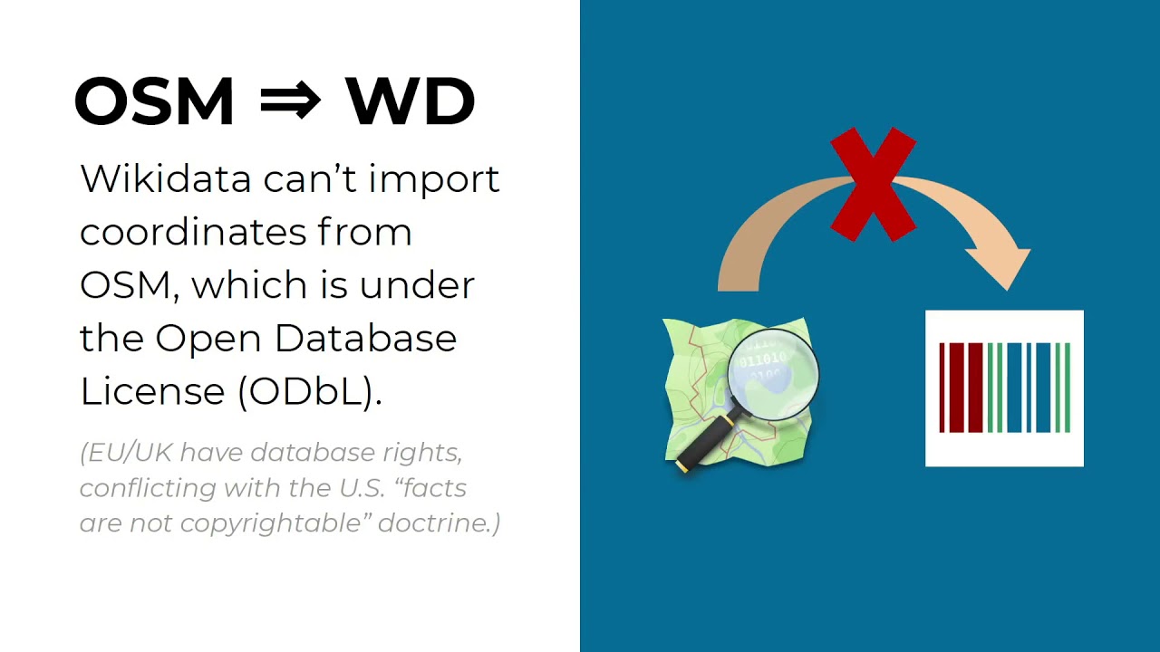
Linking the two projects isn't without controversy: there is some distrust within the OSM community with linking to or relying on Wikidata and they use different licenses as well, which raises questions about what information from one project can be copied to the other. (OSM has a policy that Wikidata coordinates cannot be imported into OSM despite Wikidata's CC0 license.) This issue, among other problems that hinder further collaborations between the two communities, will be touched upon in the presentation.
https://www.wikidata.org/wiki/Wikidata:WikidataCon_2019/Program/Sessions/OpenStreetMap_and_Wikidata
https://media.ccc.de/v/wikidatacon2019-13-openstreetmap_and_wikidata
This presentation will give a short introduction to OpenStreetMap and its data model, and explain how OSM and Wikidata can link to each other and the benefits and uses of such cross-linking. In addition, we will demonstrate the use of an online machine-assisted matching tool that OSM mappers can use to add wikidata=* tags to OSM objects that correspond to Wikidata items about the same real-world place or thing. The tool's limitations will also be explained.
Linking the two projects isn't without controversy: there is some distrust within the OSM community with linking to or relying on Wikidata and they use different licenses as well, which raises questions about what information from one project can be copied to the other. (OSM has a policy that Wikidata coordinates cannot be imported into OSM despite Wikidata's CC0 license.) This issue, among other problems that hinder further collaborations between the two communities, will be touched upon in the presentation.
https://www.wikidata.org/wiki/Wikidata:WikidataCon_2019/Program/Sessions/OpenStreetMap_and_Wikidata
https://media.ccc.de/v/wikidatacon2019-13-openstreetmap_and_wikidata
Video Information
Views
123
Likes
8
Duration
28:27
Published
Nov 23, 2019
Related Trending Topics
LIVE TRENDSRelated trending topics. Click any trend to explore more videos.
No specific trending topics match this video yet.
Explore All Trends