FOSS4GE 2024: Linking Wikidata & OpenStreetMap 🌍
Explore how Wikidata and OpenStreetMap integrate through web tools, enhancing open data collaboration at FOSS4GE 2024.
FOSS4G
49 views • Aug 8, 2024
About this video
Discover the synergy between Wikidata and OpenStreetMap, two monumental open data repositories. This talk unveils innovative web-based tools facilitating the linking of these platforms, enhancing the richness and accuracy of geospatial data.
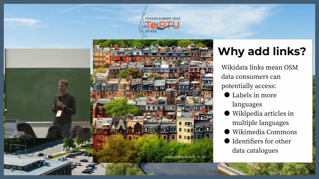
OpenStreetMap's editors face a unique challenge: accurately mapping the vast tapestry of global locations. This presentation introduces Web-based solutions streamlining this process. Attendees will learn how these tools empower users to effortlessly identify and correlate Wikidata entries with OpenStreetMap locations.
This integration, however, navigates complex waters of differing licenses, sparking lively debates within the community. The talk delves into these intricacies, exploring the ethical and legal considerations of cross-platform data sharing.
Expect an engaging walk-through of the tool's latest iteration, insights into the matching algorithm, and an honest reflection on community responses, including the contentious aspects. The session concludes with a call to action, inviting attendees to contribute and further this pioneering work.
Edward Betts
https://talks.osgeo.org/foss4g-europe-2024/talk/3MP9XP/
Room: QFieldCloud (246) @ 05.07.2024 11:00:00
#foss4ge2024
#GeneralTrack
#OpenData
Video Information
Views
49
Likes
1
Duration
23:20
Published
Aug 8, 2024
Related Trending Topics
LIVE TRENDSRelated trending topics. Click any trend to explore more videos.
No specific trending topics match this video yet.
Explore All Trends