Create 3D Travel Memory Maps with GIS & RS 🌍
Learn to create animated 3D travel maps using GIS and RS tools. Join our community for tips and tutorials on map animation.

Vikas Ghadamode
1.0K views • Dec 18, 2022
About this video
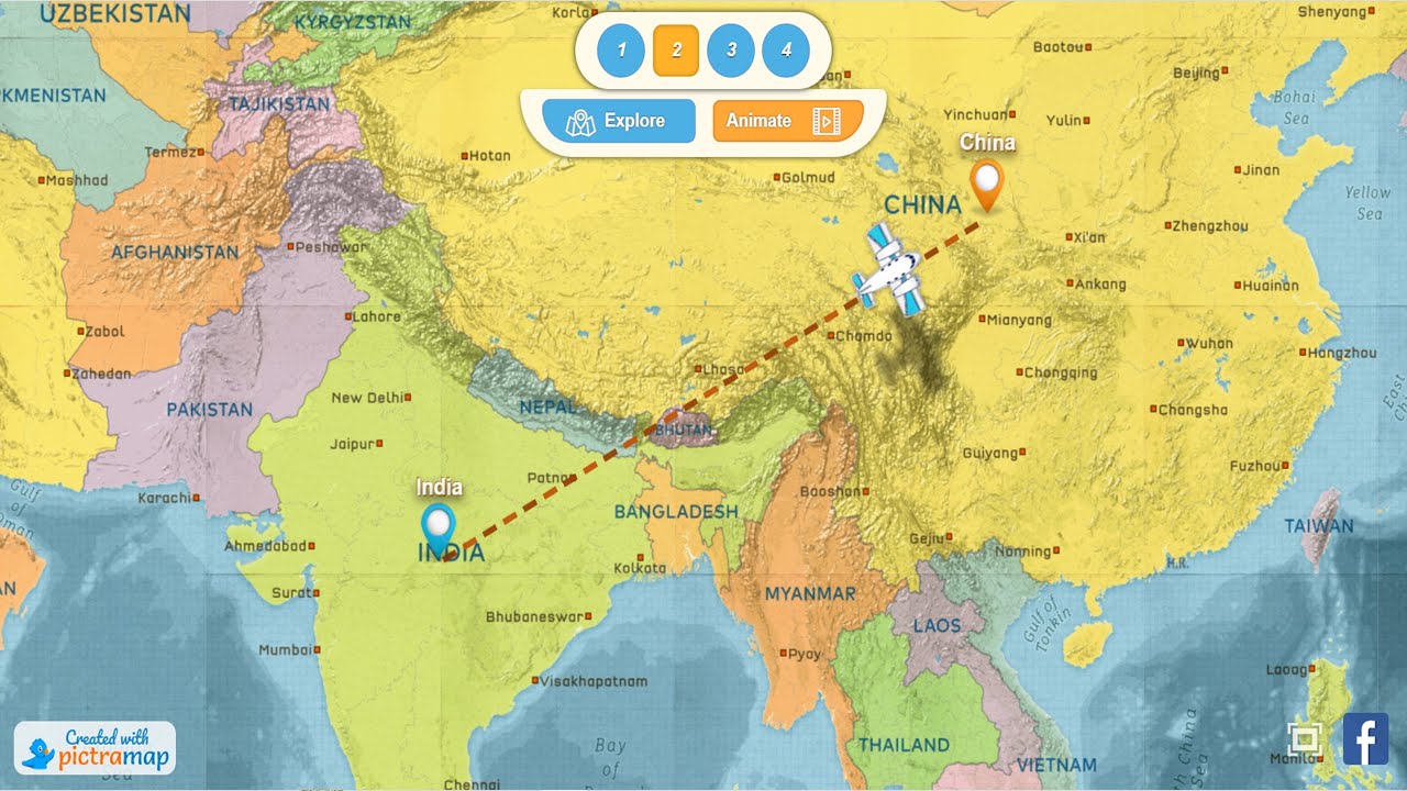
RS & GIS QA24 Creating 3D animated travel memories map
pictramap: https://www.pictramap.com/
Join our telegram Group Remote Sensing & GIS Professionals:- https://t.me/joinchat/UhUorR2yhloKeKP3XOuZCQ
00:00 Intro
00:20 Pictramap search
01:07 Upload Photo
02:51 Animation
03:25 Chnage Order
Geotech GIS Training institute is a prestigious remote sensing training institute in India. Our vision is to bring an opportunity to every aspirant who dreams of a successful career in remote sensing and GIS field.
We conduct the following courses:
Training Program Related to Project Work- Duration- 1 Month
Basics of Remote Sensing and GIS - Duration- 3 Months
Advance Diploma in Remote Sensing and GIS - Duration- 6 Months
PG Diploma in Remote Sensing and GIS- Duration- 1 Year
Master of Remote Sensing and GIS - Duration: 2 Years
Any Help Contact
Mr.Vikas Ghadamode--Vikasghadamode77@gmail.com
WhatsApp Number= +918421031398
You May Like
RS & GIS QA15- Download ready-to-use contour lines from Open DEM & Generate DEM from Contour: https://youtu.be/I34OU_ESWtk
Land Use Land Cover Mapping in QGIS: https://youtu.be/7nyH3KFa9nA
Download Rainfall data: https://youtu.be/MJP0rsa4-yE
Download SOI Toposheet : https://youtu.be/pMs3cQ7uNfk
Google earth Playlist : https://youtube.com/playlist?list=PLJh13Fo10QOvwBvLBdEiFgb25M8HTQl6N
ArcGIS : https://youtube.com/playlist?list=PLJh13Fo10QOuiP3yG26SD056_WVgxUTAg
QGIS: https://youtube.com/playlist?list=PLJh13Fo10QOujU84zTuZk3LPjsmZ6do0s
#imd #rainfall #precipitation
THANK YOU SO MUCH
Tags and Topics
Browse our collection to discover more content in these categories.
Video Information
Views
1.0K
Likes
21
Duration
4:38
Published
Dec 18, 2022
User Reviews
4.5
(1) Related Trending Topics
LIVE TRENDSRelated trending topics. Click any trend to explore more videos.
No specific trending topics match this video yet.
Explore All Trends