NASA Earth Science & GIS 🌍
Explore how NASA uses GIS, data, and maps to advance Earth science and showcase GIS benefits in understanding our planet.

NASA Earthdata
5.6K views • Jan 15, 2021
About this video
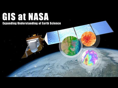
Learn about GIS at NASA Earth Science with an overview of how NASA uses data, maps, and applications to demonstrate the benefit GIS provides to both the scientific community and the world at large.
To view presentation content: https://storymaps.arcgis.com/stories/1c45be14c6fd4522824be10e0f446cda
To view presentation content: https://storymaps.arcgis.com/stories/1c45be14c6fd4522824be10e0f446cda
Video Information
Views
5.6K
Likes
124
Duration
20:01
Published
Jan 15, 2021
User Reviews
4.6
(1) Related Trending Topics
LIVE TRENDSRelated trending topics. Click any trend to explore more videos.
No specific trending topics match this video yet.
Explore All Trends