Citizen Science GIS: Tackling Marine Debris in Belize 🌊
Collaborating with communities using GIS, surveys, and interviews to study marine debris and its impact in Belize.

Esri Events
402 views • Dec 9, 2017
About this video
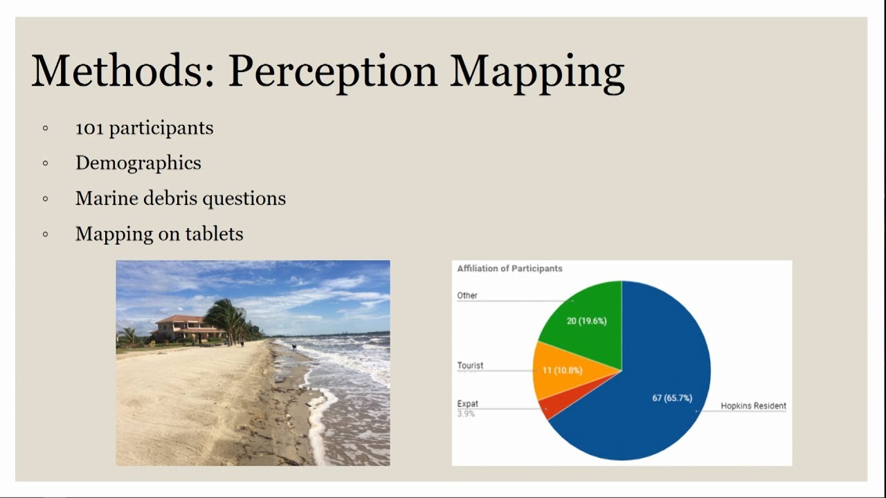
Marine debris poses health and safety hazards for humans and animals. We use participatory GIS, sketch mapping, beach surveys, and interviews to explore community perceptions of marine debris and potential solutions. We pay particular attention to sense of place and emotional attachment to understand how residents view debris and to create culturally sensitive spatial information. Our results provide implications for further coastal planning in Belize and beyond.
Tags and Topics
Browse our collection to discover more content in these categories.
Video Information
Views
402
Likes
2
Duration
17:00
Published
Dec 9, 2017
Related Trending Topics
LIVE TRENDSRelated trending topics. Click any trend to explore more videos.