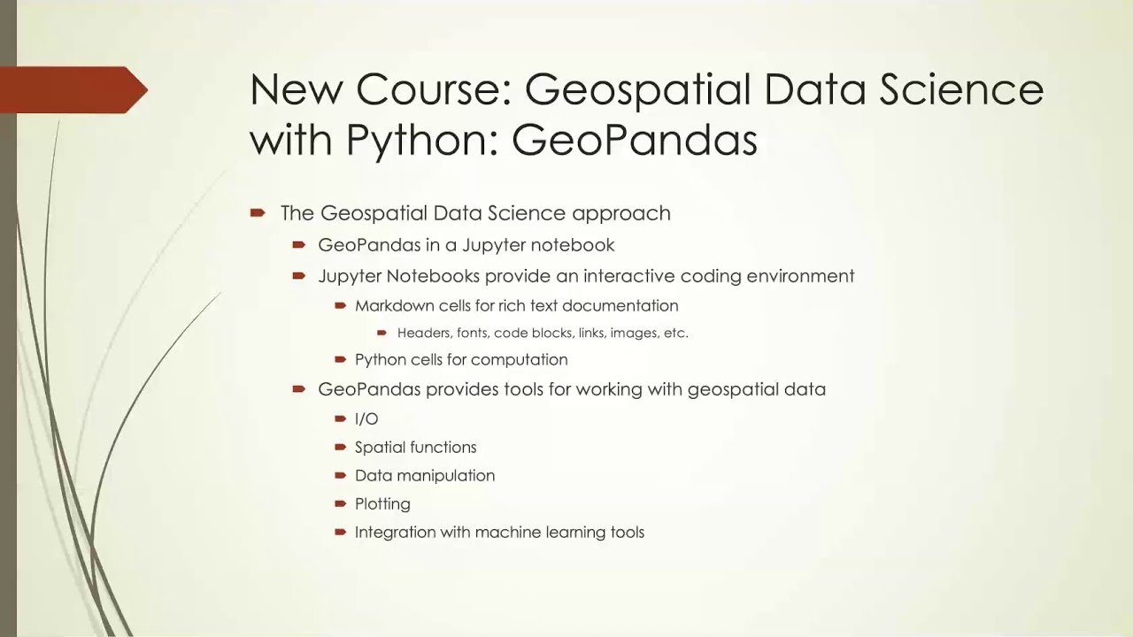
New Course: Geospatial Data Science with Python 🌍
Learn vector analysis in geospatial data science using Python and GeoPandas in this brand-new course.
Mike Miller
1.8K views • Dec 31, 2020
About this video
This course is brand new and intended to be one of a series of courses on Geospatial Data Science with Python. This course focuses on vector analysis with the excellent GeoPandas library which extends the excellent Pandas library with geospatial functionality similar to the way that PostGIS extends PostgreSQL with geospatial functionality. In fact PostGIS and GeoPandas integrate very well together and you can read data from a PostGIS database and then visualize it and/or work with it in Python and if you are familiar with PostGIS you will find many of the same tools available and a few more.
This course will be available on Udemy.com until Jan 4 for the introductory price of $9.99 using the coupon code GEOPANDAS. More information at https://wp.me/p8BMpS-bB
This course will be available on Udemy.com until Jan 4 for the introductory price of $9.99 using the coupon code GEOPANDAS. More information at https://wp.me/p8BMpS-bB
Tags and Topics
Browse our collection to discover more content in these categories.
Video Information
Views
1.8K
Likes
36
Duration
8:54
Published
Dec 31, 2020
User Reviews
4.5
(1) Related Trending Topics
LIVE TRENDSRelated trending topics. Click any trend to explore more videos.
No specific trending topics match this video yet.
Explore All Trends