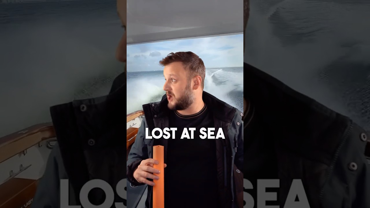
How to Find Your Location Without GPS
For centuries, finding latitude and longitude was crucial for maritime navigation, allowing sailors to pinpoint their position on the vast and featureless se...

magnify
2.4M views • Dec 6, 2024
About this video
For centuries, finding latitude and longitude was crucial for maritime navigation, allowing sailors to pinpoint their position on the vast and featureless seas. Latitude, the measure of distance north or south of the equator, was relatively easy to determine. Ancient mariners used instruments like the sextant to measure the angle of the sun at noon or the altitude of stars like Polaris above the horizon. This measurement, combined with charts and tables, revealed their latitude.
Longitude, the measure of distance east or west of a prime meridian, was a far more complex challenge. Sailors needed to know the precise time at a fixed location (such as Greenwich) and compare it to the local time determined by the sun's position. The difference allowed them to calculate their longitude, as Earth rotates 15 degrees per hour. This required a reliable timepiece, which wasn’t achieved until the 18th century with the invention of the marine chronometer by John Harrison. Before this, inaccurate methods often led to disastrous navigation errors.
Today, latitude and longitude can be found using modern GPS, but understanding the historical methods underscores the ingenuity of early navigators, who relied on precise instruments, celestial observations, and a deep knowledge of mathematics to cross the world's oceans.
Tags and Topics
Browse our collection to discover more content in these categories.
Video Information
Views
2.4M
Likes
169.8K
Duration
1:00
Published
Dec 6, 2024
User Reviews
4.8
(476) Related Trending Topics
LIVE TRENDSRelated trending topics. Click any trend to explore more videos.
No specific trending topics match this video yet.
Explore All Trends